
- 08/07/2026 10:00 – 13/09/2026 19:00
- Palazzo Poli – Via Poli 54, Roma
- https://www.turismoroma.it/it/eventi/…
- ic-gr@cultura.gov.it
- Open in Google Maps
- View on Google Images
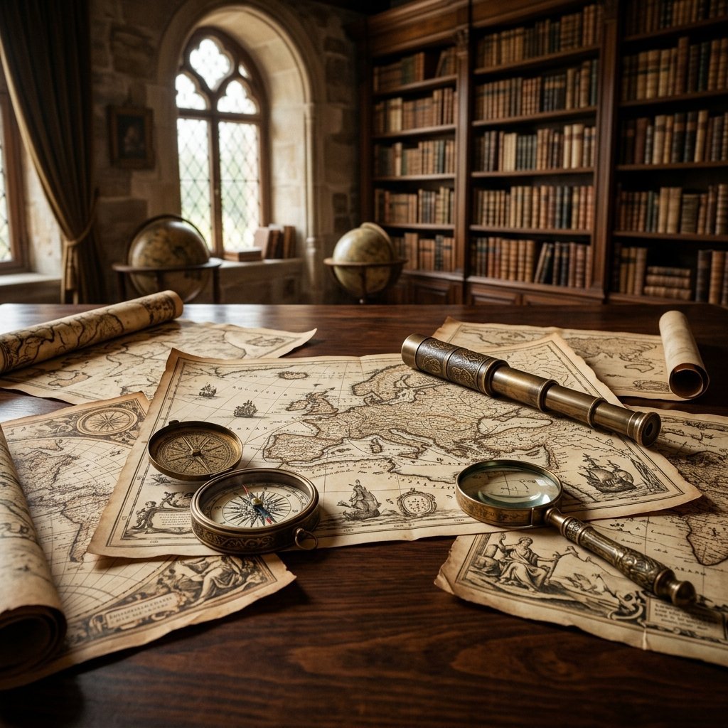
In the halls of Palazzo Poli, home of the Istituto Centrale per la Grafica in Rome, an enchanting cartographic exhibition documents the historical and cultural connections between the Italian Peninsula and the principalities of Eastern Europe.
The route showcases precious original copperplate engravings, period atlases, and hand-colored geographical plates by renowned master engravers such as Mercator, Cantelli da Vignola, and Blaeu. A chance to explore how historical cartography was not only a tool for territorial representation, but also a refined means of diplomacy and knowledge.
Source: Turismo Roma
Important: The information in this article is for guidance purposes only and does not constitute official communication. For up-to-date descriptions, schedules, prices, and availability, please refer to the official websites or social media pages of the event.
Cartographic Treasures between Italy and Europe at Palazzo Poli